
Find Fairfield Residents Along a Street
A useful street directory begins with an address ledger. Write down the municipality, standardized postal line, house number, unit or suffix, and the reason for the search. A parcel card may identify an assessed owner, but it does not automatically identify everyone who occupies the building. The voter lookup can offer a named registration clue. A city directory can show an earlier occupant. A deed can show a recorded property party. Each row has a different meaning.
Walk the address chain in the same order every time. The parcel ID is often the bridge between systems, especially when a road was renamed, a lot was subdivided, or a postal place does not match the town. A legal description, plat, or book-and-page reference can be stronger than a street number for older records.
- Confirm the municipality and USPS delivery line, then enter the property or situs address in the local assessor or Vision search.
- Save the owner, mailing address, parcel or account ID, card date, assessment year, and any sale or transfer volume and page.
- Open the municipal GIS viewer, click the parcel, and record adjacent parcel IDs, street fronts, and relevant map layers.
- Use the Town Clerk's grantor-grantee, document, book, page, or date search to test the transfer reference.
- Check the state voter lookup by name and street only as a lawful, dated registration clue.
- For earlier households, read the library's street or criss-cross section, then verify the name in the alphabetical section.
The result is a source trail. It is not a claim that every person on the street appears in public data.
Fairfield Assessor Search by Address
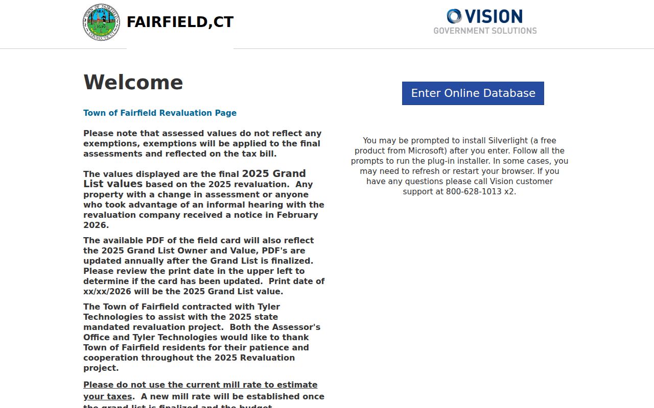
Fairfield Vision is the inspected local example for address and owner research. Its landing screen describes the final 2025 Grand List and field-card PDFs after finalization. Across the municipal Vision systems inspected for the county, the practical search choices are property address or street, owner name, parcel or account number, and sometimes map-block-lot or tax district. Controls are JavaScript-rendered, so a live screen may change while the underlying fields stay familiar.
Read the card as a tax record. Owner, mailing address, and situs should be copied into separate columns. The mailing address may belong to another town, an attorney, a trustee, an entity, or a P.O. box. Assessment values describe the tax roll and may omit exemptions or show them separately. A sales-history reference is the start of a deed search, not a title abstract.
| Property or street address | Text or autocomplete route to the physical parcel; try suffix and unit variants. |
|---|---|
| Owner name | Name-search route for a current assessed owner; test trust, estate, and entity spellings. |
| Parcel or account ID | Stable key for the card, map, plat, and land-record citation. |
| Map-Block-Lot or tax district | Optional municipal identifier used by some systems when a street number is weak. |
| Owner, mailing, situs | Result fields to preserve separately, with the card date and municipality. |
| Sales or transfer volume/page | Lead for the Town Clerk index; confirm the instrument and image. |
| Assessment and exemptions | List-year values, not a current market-price conclusion. |
The Fairfield Vision property search is the direct local starting point.
The inspected screen from the Fairfield Vision property search is reproduced in the manifest source below. A screenshot can show the control layout, but the municipal card date still controls the meaning of a result.
When a needed field is not exposed, contact the town assessor for the card or a narrowly defined lookup.
Fairfield GIS Lets a Street Unfold
A GIS viewer turns one address into a parcel sequence. Search or map-click the target, save the polygon and parcel ID, then pan along the contiguous shapes. Relevant layers can include aerial imagery, zoning, land use, flood or wetlands, voting districts, and other municipal boundaries. Those layers provide place context; they do not create a legal survey or an occupant list.
Bridgeport's GIS hub supplies interactive maps and downloadable links. MetroCOG provides a regional viewer with parcel navigation. Greenwich accepts a separate map request that can include an address, building number, street, ZIP, parcel ID, map size, and requested layer. If a click result is incomplete, a formal map or abutter request is more reliable than guessing from a driveway or hedge line.
| GIS element | Street use | Limit |
|---|---|---|
| Parcel boundary and ID | Walk adjacent parcels and keep a durable key. | Not a substitute for a survey or deed. |
| Address search | Locate a situs and compare town spelling. | Viewer behavior varies by municipality. |
| Aerial or base map | Orient a block and historic street alignment. | Image date is not a title fact. |
| Zoning, flood, wetlands, land use | Explain public parcel context. | Does not identify a person. |
| Abutter request | Obtain an official adjacent-owner product when offered. | Separate request, fee, and privacy review may apply. |
Start at the Bridgeport GIS hub.
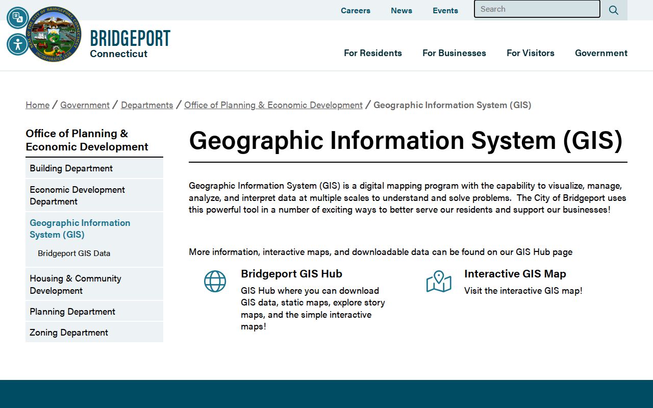
Map browsing is strongest when each clicked parcel is checked against its assessor card and legal record.
The Greenwich GIS request form shows how a local GIS office separates a map product from an abutter list.
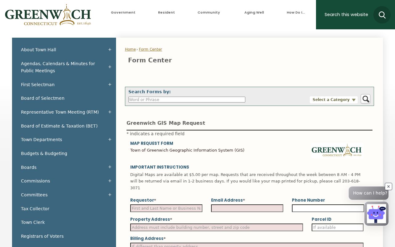
The form's address and ZIP fields help resolve a postal clue, while the optional parcel ID keeps the request tied to the correct land.
Fairfield Deeds Along the Block
Land records are held by the Town Clerk in the municipality where the parcel lies. The statewide Cott entry points include Connecticut Town Clerks Records and RECORDhub, but participation and cutoffs vary. Bridgeport's legacy I2 index covers January 2, 1948 to the present, with indexed images from June 1, 1983. Greenwich reports digitized land records back to the 1920s.
Bridgeport's legacy form exposes Recorded Land and Maps areas with Name, Document, Book, and Date tabs. The visible search fields include office, search type, business or last name, first name, party type, document type, recorded date range, and search options. The newer Bridgeport publicsearch screen uses a search term, date presets, and a choice between index-only and index-plus-OCR. A guest index may be free while images, printing, or downloads carry separate charges.
Follow the deed chain from the current owner to the prior grantor. Record instrument type, grantor, grantee, recording date, book, page, document number, legal description, map or lot, and image status. If an instrument is a certificate of devise, descent, or distribution, the property trail may lead to probate rather than a simple sale.
The Bridgeport legacy land-record screen shows the search tabs and fields that make a street directory more than a name list.
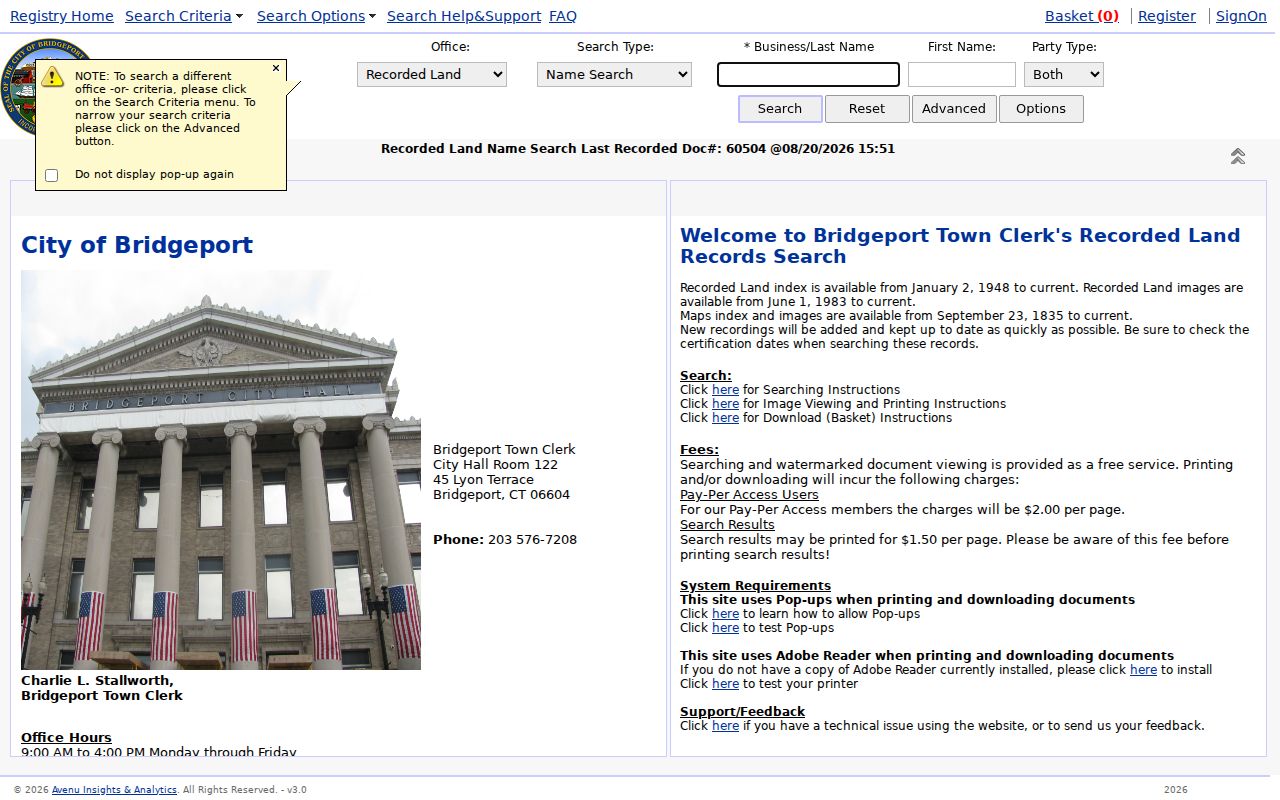
Use the prior grantee as the next search name, and move to the clerk's vault, microfilm, or older book when the online cutoff is reached.
The newer Bridgeport Official Record Search pairs a current quick screen with the older index.
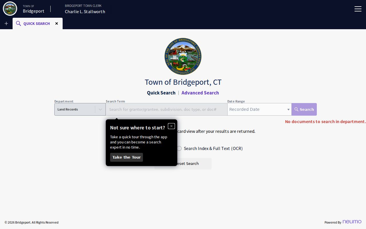
A screen notice with no query is not evidence that the municipality has no records; search scope and date must be supplied first.
Fairfield Street Records by Address
The street directory chain works because each source adds a different address-keyed fact. A parcel card gives the tax-roll owner and situs. A GIS map gives the shape and ID. A plat gives subdivision or lot context. A deed gives recorded parties and a legal description. A permit gives an applicant or agent tied to work at the address. A voter result gives a public registration clue for a named person and street.
| Record set | Keeper | Street-level field | Access |
|---|---|---|---|
| Assessor card | Municipal Assessor | Owner, situs, mailing, parcel, assessment, transfer reference | Portal, GIS, phone, card request |
| GIS parcel | Town or regional GIS | Polygon, parcel ID, street, layers, linked card | Viewer, map or abutter request |
| Deed, lien, release | Town Clerk | Grantor, grantee, date, book/page, legal description | Index, image, vault, mail |
| Plat or subdivision map | Clerk, Planning, Engineering | Lot, easement, road layout, abutters | Map book, request, GIS |
| Permit or code case | Municipal department | Applicant, owner, agent, inspection, certificate | Portal or records request |
| Voter lookup | State and town registrars | Name, public address, party, year, status | Public lookup or regulated file |
| Reverse directory | Library or history center | Dated occupant, address, cross street, marker | Shelf, microfilm, scan |
When those rows disagree, preserve the disagreement. An owner may receive tax mail outside the street, a directory may show an occupant or boarder, and a permit may name an agent. The street directory is useful because it lets the reader see the role and date instead of flattening every name into “resident.”
Fairfield Permits by Street Number
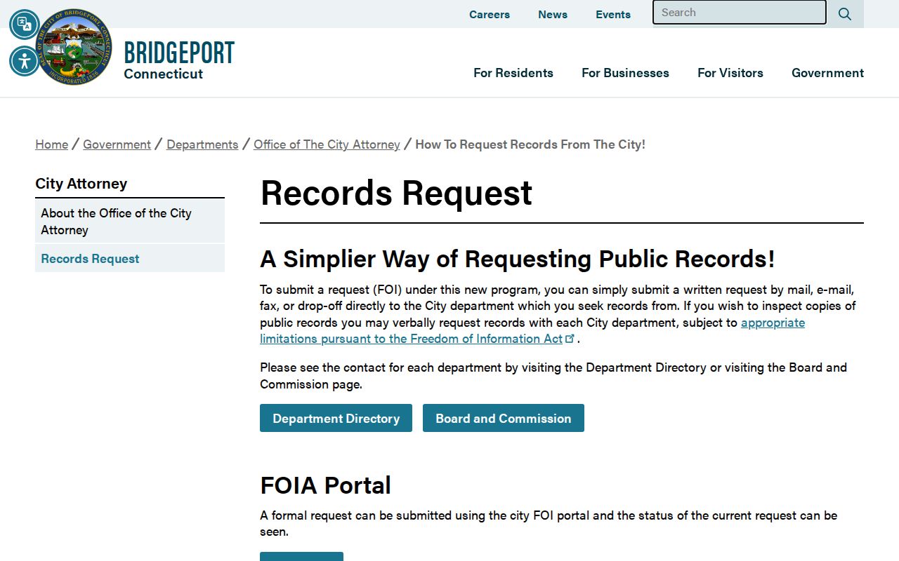
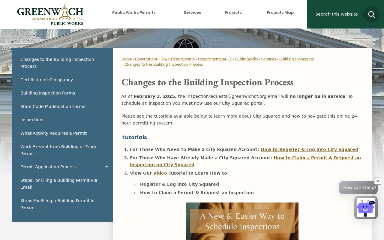
Address-keyed permit and code records add a physical timeline. Bridgeport's Park City Portal covers permits, plans, inspections, code cases, and licenses issued since January 1, 2021, across Building, Zoning, Health, and Fire Marshal departments. Its Building Department lists building, demolition, electrical, HVAC, plumbing, pool, fire-protection, sign, and related permit categories. Greenwich moved public permit and inspection access to City Squared on February 3, 2025, where public users can see permit status, inspection results, and certificate-of-occupancy conditions.
A permit result can name an owner, applicant, agent, work description, inspection date, violation, or certificate. It cannot show all people connected to the building. Older records may require a written request to the Building Official, Planning and Zoning office, or town clerk. A street number and approximate year are more useful than a broad request for all residents.
The Bridgeport public-records request route explains the portal and fallback.
For Greenwich, the City Squared transition page marks the newer coverage layer.
Use permit dates to explain a change to the physical house, not to infer who occupied it.
Fairfield Reverse Directory Clues
A historical street directory works backward from an address. Beginning in 1895, Bridgeport volumes have an alphabetical name section and a street or address section. The street side can show a house number, occupant, owner or boarder mark, occupation, spouse or widow notation, and nearby entries. The alphabetical side confirms spelling and adds business or telephone information when the volume includes it.
Greenwich's 1898-99 Turner's Directory is a good example of the reading problem. An OCR fragment such as “Lyon Harry, carpenter h Washington nr Purdy av” contains a name, occupation, home marker, street, nearby cross street, and an abbreviation for avenue. OCR can distort type, so read the scan and preserve the printed page. Directories are dated publications, not current rosters.
The fuller historical shelf and its years are in the Fairfield city directory collections. Use the street section there when the address is known, then confirm the person in the alphabetical section.
The Greenwich Official Records Search illustrates the current property-record, date, and OCR controls.
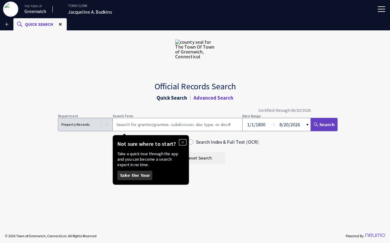
Modern land records and historical reverse directories answer different time-bound questions, even when both use a street line.
Fairfield Situs and Mailing Address
A situs address is the physical parcel or building location. A mailing address is where tax or other notices are sent. A USPS delivery address is a standardized postal line. A legal description uses lot, subdivision, bounds, and abutters. A parcel ID or Map-Block-Lot number belongs to the assessor or GIS system. Those are five related but non-identical fields in a Fairfield street directory.
Greenwich's real-estate information route can provide owner, address, parcel ID, assessment, and most recent transfer volume and page by phone, while its field-card request has a stated $1 card route and a self-addressed stamped-envelope requirement for mail. Similar access depends on each town. The point is not the fee alone; it is the practice of saving the field label and the date with the result.
Greenwich's property-alert service is separate from the deed index. It can notify a subscriber about recorded real-property activity, but it is not a people list and does not replace a deed search.
The county's address fields are shown in the Greenwich real-estate information source. The Greenwich Property Alert page provides the related activity-alert route.
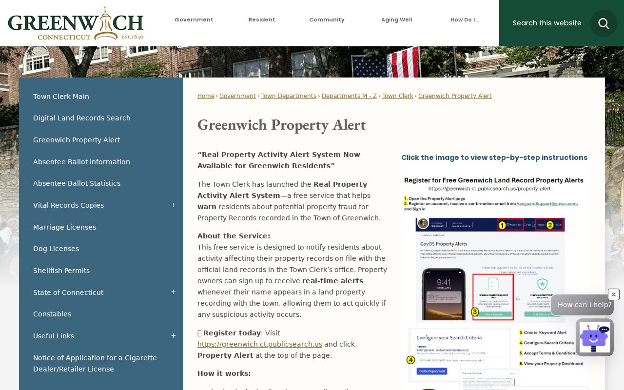
An alert is useful for a future deed event; the recorded instrument remains the evidence of the transaction.
Fairfield Street Name Changes
Connecticut's emergency GIS program receives municipal street and address updates, while Bridgeport Engineering keeps permanent records involving street layouts, grades, abandoned streets, bridges, and related city property. Greenwich's official street-name instructions show an administrative path with abutting-owner signatures, Planning and Zoning review, departmental approvals, Town Clerk and public-safety involvement, and action by town bodies.
The research did not locate a county-wide historical list of renamed or renumbered roads, so a year should not be invented. When an old directory number fails, search the parcel ID, legal description, subdivision, old street spelling, nearest cross street, and town petition file. A plat or historic map can bridge the change. A postal place name alone cannot.
- Parcel
- A mapped tax unit tied to a municipal identifier and assessment record.
- Situs address
- The physical location used by the assessor, GIS, and permit office.
- Plat
- A recorded map showing lots, roads, easements, and subdivision relationships.
- Criss-cross directory
- A reverse or street-order directory that starts with an address and supplies a dated occupant clue.
Note: A parcel ID and legal description can survive a street-number change even when an old directory cannot be searched by the modern address.
What Fairfield Street Directory Misses
A street directory cannot show everyone who lives in a building. The assessor may show an owner and mailing address. The voter lookup may show a registered voter if the public fields permit it. A directory may show a past occupant. A permit may name an applicant or agent. None of those sources is a complete household list.
Unregistered adults, children, guests, private mail recipients, protected voters, DMV addresses, utility subscribers, and people absent from a dated publication remain outside the ordinary public street model. The federal Driver's Privacy Protection Act restricts DMV personal information. Connecticut's Address Confidentiality Program and voter safety suppression also mean that a blank result can be an intentional protection.
Lawful personal use. Fairfield street and address records can support a house-history question, family research, civic curiosity, or a safety check. Do not use them to stalk, harass, threaten, or intimidate anyone. Respect a custodian's redactions and protected-address rules.
Fairfield Street Request Fallbacks
If an online street directory search is thin, send a focused request to the actual custodian. Include the municipality, street name and number, unit or lot, parcel or account ID, approximate date range, book and page if known, and the specific record type. Ask the Town Clerk for deed or plat index work, the assessor for a field card, GIS for a map or abutter product, and the building office for permit or certificate records.
Under the Connecticut Freedom of Information Act, the request should seek an existing non-exempt record or defined fields. It should not ask an agency to build a new resident report. Libraries can search a named directory year, street section, obituary index, or map collection. A courthouse clerk can explain how an older case file is accessed. Keep the response, fee, and coverage date with the street ledger.
The Greenwich Assessor page is a concrete example of a municipal card and report route.
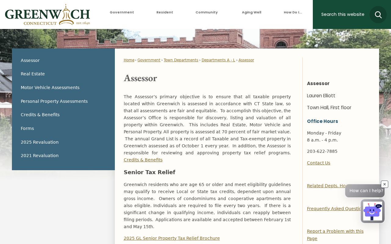
The office-specific route is more dependable than a generic county request because Fairfield County has no county recorder or county assessor.