
Fairfield Neighbors by Block Source
A block lookup is strongest when each source has one job. GIS finds parcels around a target. The assessor supplies current tax-roll fields. A deed or plat supplies recorded land relationships. The voter system can offer a named street clue under Connecticut's public-field rules. Neighborhood groups and libraries explain civic or historical geography. None should be expanded into a private list of every household.
| Source | What It Shows About a Block | Access |
|---|---|---|
| Municipal GIS | Adjacent parcels, streets, layers, boundaries, sometimes linked cards | Public viewer, map, or abutter request |
| Assessor cards | Owner, mailing, situs, parcel, assessment, transfer clue | Municipal portal, phone, card request |
| Town Clerk land records | Plats, easements, adjoining legal descriptions, prior owners | Index, image, vault, or mail |
| Voter lookup or registrar | Named registration clue at a town or street | Public lookup or regulated file |
| Permit and code records | Address activity, applicant, owner, inspection, certificate | Portal or records request |
| Neighborhood maps | Association boundaries and civic geography | Municipal planning or GIS page |
| Libraries and directories | Dated household, neighborhood, map, or oral-history context | Shelf, scan, microfilm, research request |
Start with the target address, identify the municipal town, and save the parcel ID. Then work outward. If the map does not expose a reliable adjacent result, ask for the formal abutter or map product instead of inferring ownership from a driveway or fence.
Map a Fairfield Block in GIS
The adjacent-parcel method is reproducible. Locate the target in a town or regional GIS viewer. Click the polygon and record the parcel ID and situs address. Zoom out just enough to see the surrounding polygons. Click each adjacent parcel, compare the card or linked owner field, and note a corner parcel's second street front. For a flag lot, read the plat and legal description rather than following the visible driveway.
- Search the municipal address or parcel ID in the GIS viewer.
- Save the target polygon, parcel ID, municipality, and map date.
- Pan around the block and list adjacent parcel IDs and situs addresses.
- Open the assessor card for each parcel and keep owner, mailing, situs, and card date separate.
- Compare the map with the recorded subdivision or plat and request an abutter list if the click result is incomplete.
The Greenwich GIS service and the Bridgeport GIS hub demonstrate the local-viewer model.
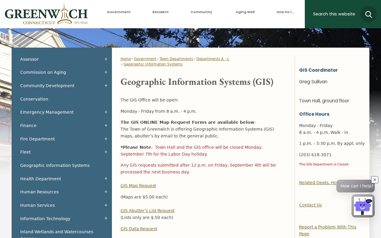
A map layer can orient the block, but the assessor card and Town Clerk record remain the sources for the fields they actually keep.
Fairfield Adjacent Parcel Flow
Use a simple flow for block research: target address → municipal GIS parcel → adjacent parcel IDs → assessor owner and mailing fields → deed or plat → named person question only if a lawful public source supports it. This sequence prevents a map boundary from being mistaken for a household claim. It also makes it clear where a person-specific search starts and where the block map ends.
Greenwich's GIS request form asks for requester details, property address, building number and street, ZIP, optional parcel ID, billing address, map size, and layer choice. It distinguishes a map or data request from an abutter list. That distinction matters for a corner parcel, shared road, or boundary line that a viewer cannot explain.
| Target parcel | Starting address, polygon, parcel ID, town, and map date. |
|---|---|
| Adjacent parcels | Neighboring polygons and street fronts selected from the map. |
| Assessor check | Owner, mailing, situs, card date, assessment, and transfer reference. |
| Legal check | Plat, lot, easement, subdivision, or deed description. |
| Person check | Named voter, directory, court, or historical clue with its own access rule. |
The Greenwich map request form is a concrete example of the fields a formal block request may need.
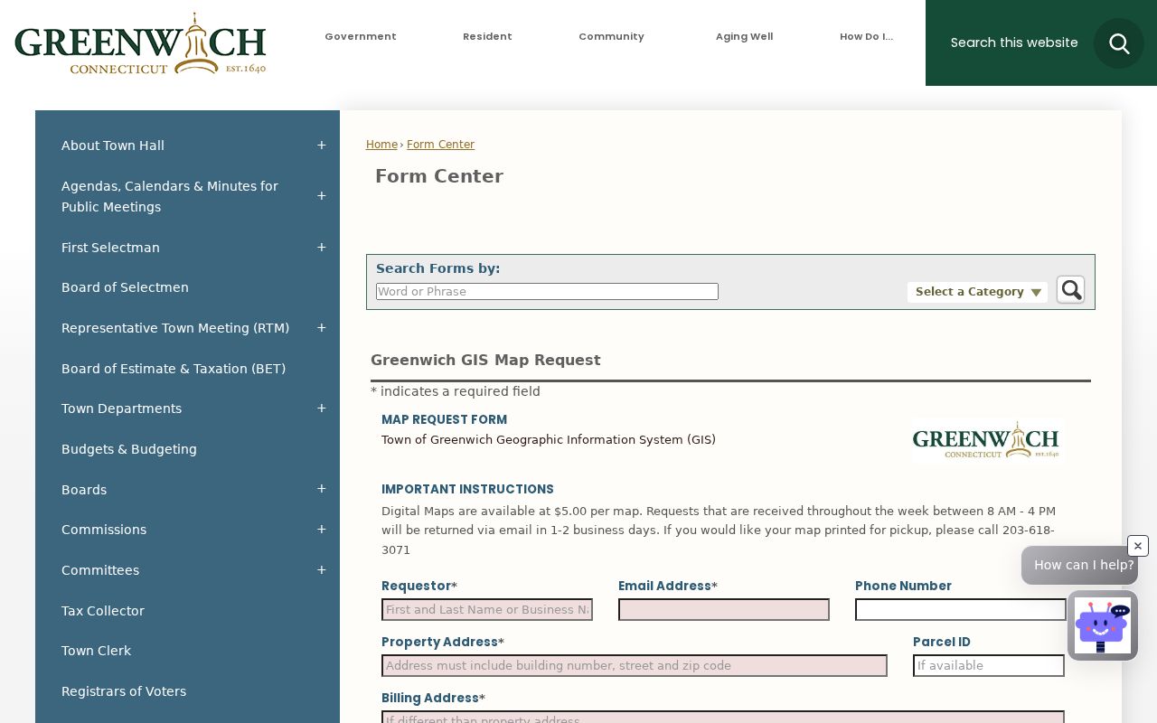
Save the request information with the map so a later reader can tell what was requested and when.
Fairfield Owners Around the Block
An assessor card can help label each parcel, but the word owner must stay in the notes. A trust, estate, LLC, government body, or person receiving tax mail elsewhere can appear in the owner field. Mailing address may point to an office or P.O. box. A recorded deed party may have no current connection to the building. Comparing those fields is useful; flattening them into “neighbor” is not.
Bridgeport's assessor page and Greenwich's real-estate information page illustrate municipal access differences. Greenwich can provide owner, address, parcel ID, lot size, assessment, and most recent transfer volume and page through a limited phone route, while field cards have a separate request. Other municipalities may require a portal, counter, or FOI request.
The Bridgeport Tax Assessor source shows the municipal assessor role.
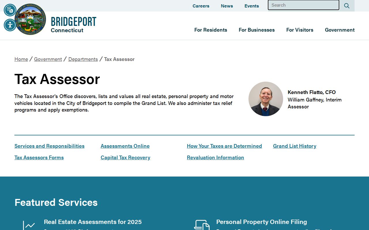
Use the tax-roll owner as a property clue, then use a different dated source before identifying a person as part of the block.
Fairfield Neighborhood Association Map
Community groups add a civic layer that parcels cannot. Bridgeport's official Neighborhood Revitalization Zone system names eight groups: Black Rock, East End, East Side, Hollow, Mill Hill, South End, Reservoir, and West Side. The city page gives a meeting and contact route, not a universal member directory. A group name can help place an address in a neighborhood plan without identifying everyone who participates.
Norwalk's GIS gallery maps association boundaries for Silvermine, Broad River, East Norwalk, Farm Creek, Flax Hill, Friends of Cranbury Park, Friends of Ryan Park, Golden Hill, Harbor Shores, Harborview, Lexington Avenue, Marvin Beach, Shorefront Park, South Main, Spring Hill, and other areas. Some parcels fall outside an established association. A neighborhood is not always a legal subdivision.
Use the Bridgeport NRZ page for the civic group route.
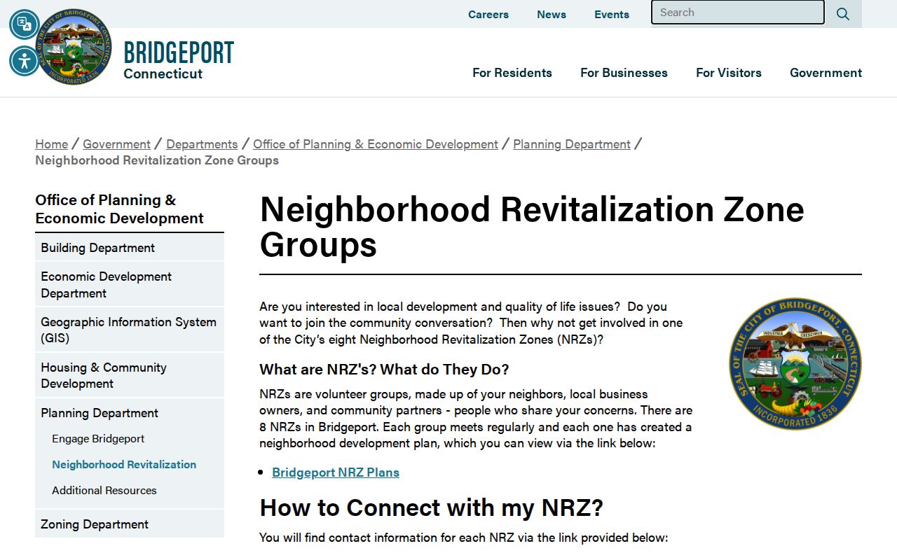
The municipal page provides civic geography and contacts, not a member roster.
Norwalk's official GIS map gallery makes the contrast with a different city geography visible.
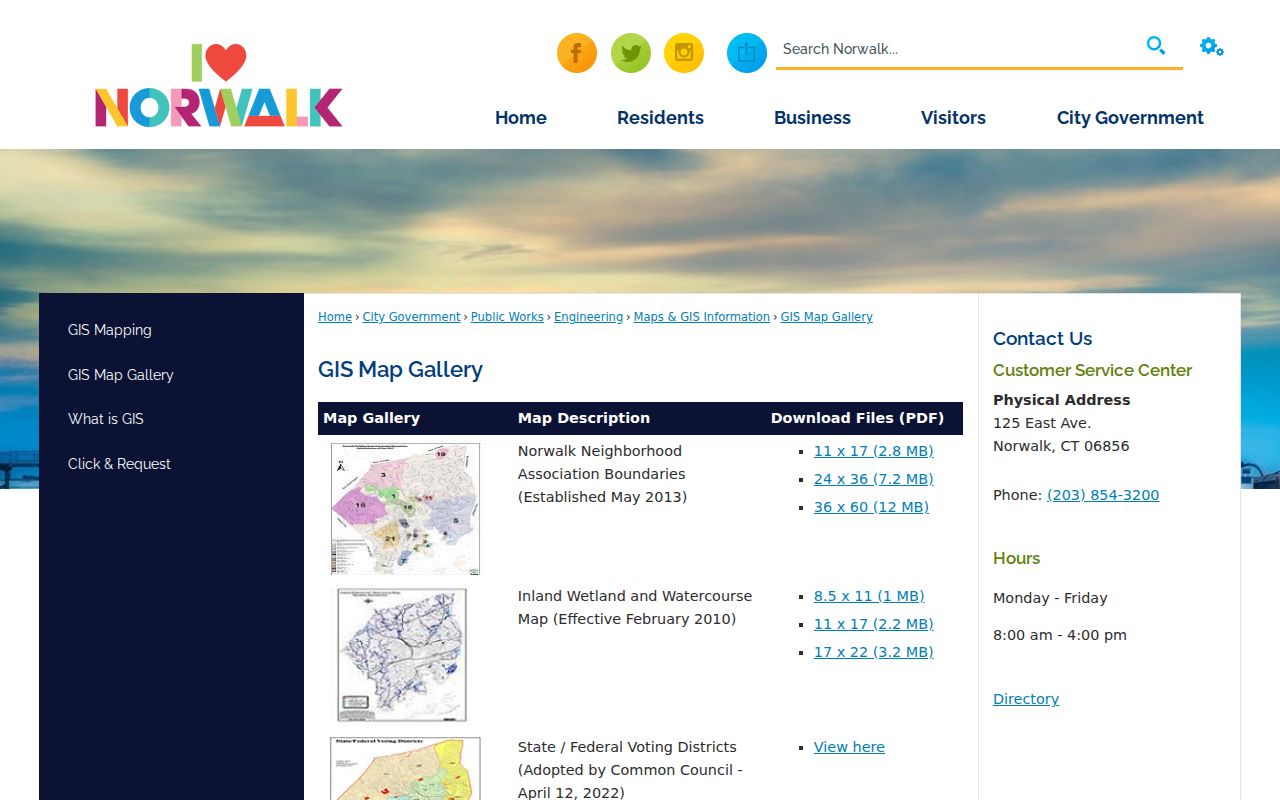
Use the association boundary to understand place, then return to the parcel and source-specific records for a person question.
Fairfield Greenwich Neighborhood Layer
Greenwich planning and association notices name Byram, Cos Cob, Eastern Greenwich, Glenville and Pemberwick, Central Greenwich, Greenwich Harbor, Old Greenwich, Belle Haven, Chickahominy, Indian Harbor, King-Merritt, King Street Area, Lucas Point, and many other civic areas. The notices are useful contact and boundary clues. They are not a current county-wide membership roll.
A block inquiry should record the exact neighborhood label, planning document date, and municipality. A place name can refer to a plan area, association, postal place, or informal community. Do not use it as a replacement for the parcel ID or legal description.
See Greenwich plans and studies for the named neighborhood material.
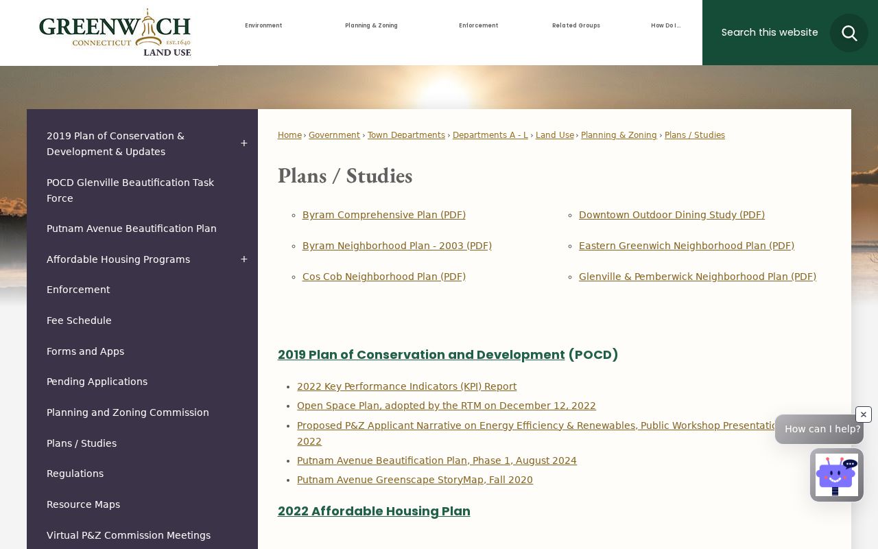
The plan collection can explain a neighborhood boundary while leaving household membership private.
Fairfield Voter Clues Near an Address
Connecticut's voter lookup can search a name and street, but it is not an unrestricted “everyone on this block” page. Public fields may include name, residence address, party, year of birth, municipality, district, and participation history. Month and day of birth are not ordinary public fields after Public Act 26-1 §96. Protected voters may be withheld under the state safety process, and an eligible survivor may use the Address Confidentiality Program.
The full voter file is a $300 CSV request with purpose certification and restrictions on private, commercial, advertising, solicitation, marketing, and harassment uses. A Registrar of Voters can answer local inspection and correction questions. A block-level result should show the lawful route, not reproduce a list of names.
The state voter privacy program explains public fields and suppression.
Registration is not occupancy. A public voter address is a dated registration clue. It does not show every person in a building, a ballot choice, or a protected address.
Fairfield Libraries Add Block History
Libraries and historical societies can add a human layer to the block. Bridgeport History Center preserves directories, newspapers, yearbooks, maps, cemetery inscriptions, photographs, and oral-history or manuscript material. Greenwich Library and Historical Society add directories, maps, vertical files, house files, and local newspapers. Fairfield Museum focuses on house and property research. These sources can show an old business, school, congregation, or neighborhood institution without becoming a current people list.
Norwalk's Hour index and local-history collection can connect a birth, marriage, obituary, article, map, or town record to a dated place. Stamford History Center keeps house surveys and neighborhood inventories. For each source, write the collection name, date span, catalog or call number, access condition, and whether the result is an index, scan, or research note.
Historical context is strongest when paired with the parcel and deed trail. A story about a block should not outrun the record that supports it.
Official Rolls and Compiled Neighbor Data
Official rolls and compiled neighbor tools have different strengths. A municipal map and assessor card identify a parcel and tax-roll owner with a named custodian. A Town Clerk deed supplies a recorded land instrument. A voter lookup gives defined public fields. A library gives a dated historical entry. A compiled service may combine stale or mismatched records and present an address without the source, role, or suppression context.
| Route | Useful strength | Important caution |
|---|---|---|
| GIS and parcel card | Block geometry, parcel IDs, owner and mailing fields | Owner is not necessarily an occupant |
| Deed and plat | Recorded parties, lot, easement, subdivision, legal description | Recorded party is not necessarily a neighbor |
| Voter lookup | Named registration clue under public rules | Protected fields and household limits apply |
| Community map | Association or planning geography | Not a membership directory |
| Compiled data category | Convenient cross-source view | Freshness, matching, source, and lawful-use questions |
The authoritative block trail is GIS plus assessor plus deed or plat, with a lawful named-person source only where it fits the question. Keep the original citation rather than copying a mixed profile into a new directory.
Fairfield Neighbor Lookup Limits
Public records do not reveal every household member, guest, child, unregistered adult, private mail recipient, utility customer, or protected voter. The Driver's Privacy Protection Act restricts DMV personal information. Connecticut's Address Confidentiality Program protects eligible survivors with a substitute mailing address. Court, vital, family, adoption, juvenile, sealed, and erased records have their own limits.
Lawful personal use. Fairfield neighbor research is for understanding a block, reconnecting, family history, civic work, or personal safety awareness. Do not use a neighbor lookup to stalk, harass, threaten, intimidate, or expose someone. Respect redactions, safety programs, and a custodian's refusal.
When a search stops, record the reason: protected record, no public index, wrong municipality, missing year, access fee, or unverified name. A blank result is not proof that a person has no connection to the block.
For the full named-street chain, use the Fairfield street directory rather than extending a block map into a county-wide roster.